
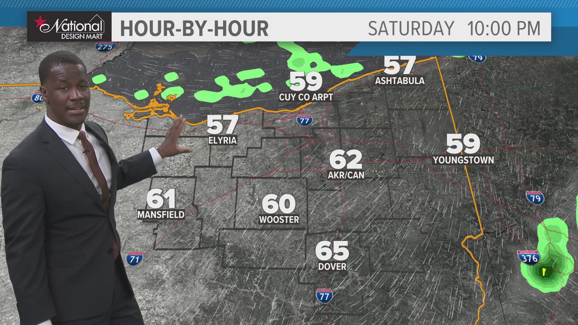
CLEVELAND — Warm and humid conditions will continue tonight for northern Ohio. Expect fog to form later and last into the start of our Saturday.


So Saturday starts with some fog and a lot of clouds and maybe even a few showers. Drier air is trying to work into the area, so don't expect too much in the way of rain, but we can't rule out some pop-up showers (maybe even thunder) during the day. While chances may remain low for any one place at any one time, it's hard to tell which place and time those chances may pop. So just keep an eye on the sky and you can always check the radar on the #3News App.


And for those lucky enough to be on the Lake:


Sunday looks pretty darn nice, too. After some fog to start we'll see sunshine and that will help to push afternoon highs to 80 or so. Expect Monday and Tuesday to be even warmer! Highs will stretch into the mid 80s ahead of a cold front that will bring storms and slightly cooler air for Wednesday.
THE 3 DAY FORECAST
TONIGHT: Clouds with fog developing. Shower chances linger. Low 60s
SATURDAY: Early fog gives way to sunshine. Stray pop-ups possible. Upper 70s
SUNDAY: Early fog gives way to more sunshine. Warmer. Around 80°
MONDAY: Mostly sunny. Warm! Mid 80s
Here are some quick weather resources you can use:
---------------------------------------------------------------------------------------------------
Get more weather from the 3News Weather team of Betsy Kling (@betsykling), Matt Wintz (@WintzWeather), Anthony Copeland (@WeatherManAC) and Hollie Strano (@holliesmiles)
►MORE WEATHER | Get the latest weather headlines, video, photos & more
►ENVIRONMENT NEWS | Find out more about the world around us
►EARTH & SPACE NEWS | Learn more about our planet and outer space
►WEATHER FEATURES | Read our weather guides, storm reports & more
MORE WEATHER-RELATED HEADLINES: